For help locating resources, using the library, or to request a research consultation, try our Ask Us service.
Topographic Map Collection
Collection Type:
- Maps
Location:
Special Collection:
No
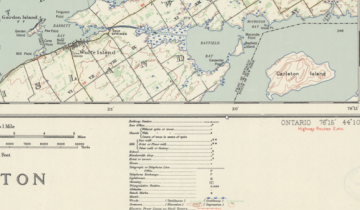
Topographical maps published by government agencies are an invaluable resource for getting a picture of culture, water, relief, vegetation, and toponymy and researching changes over time. These maps include symbols for trails, portages, campsites, buildings, marshes, woods, and rapids. Print topographic map collections are available in lower level of Stauffer library. To learn more about access to library print, scanned and georeferenced topographical map collections, please visit the Geospatial Data research guide.