About this Collection
Type:
Category:
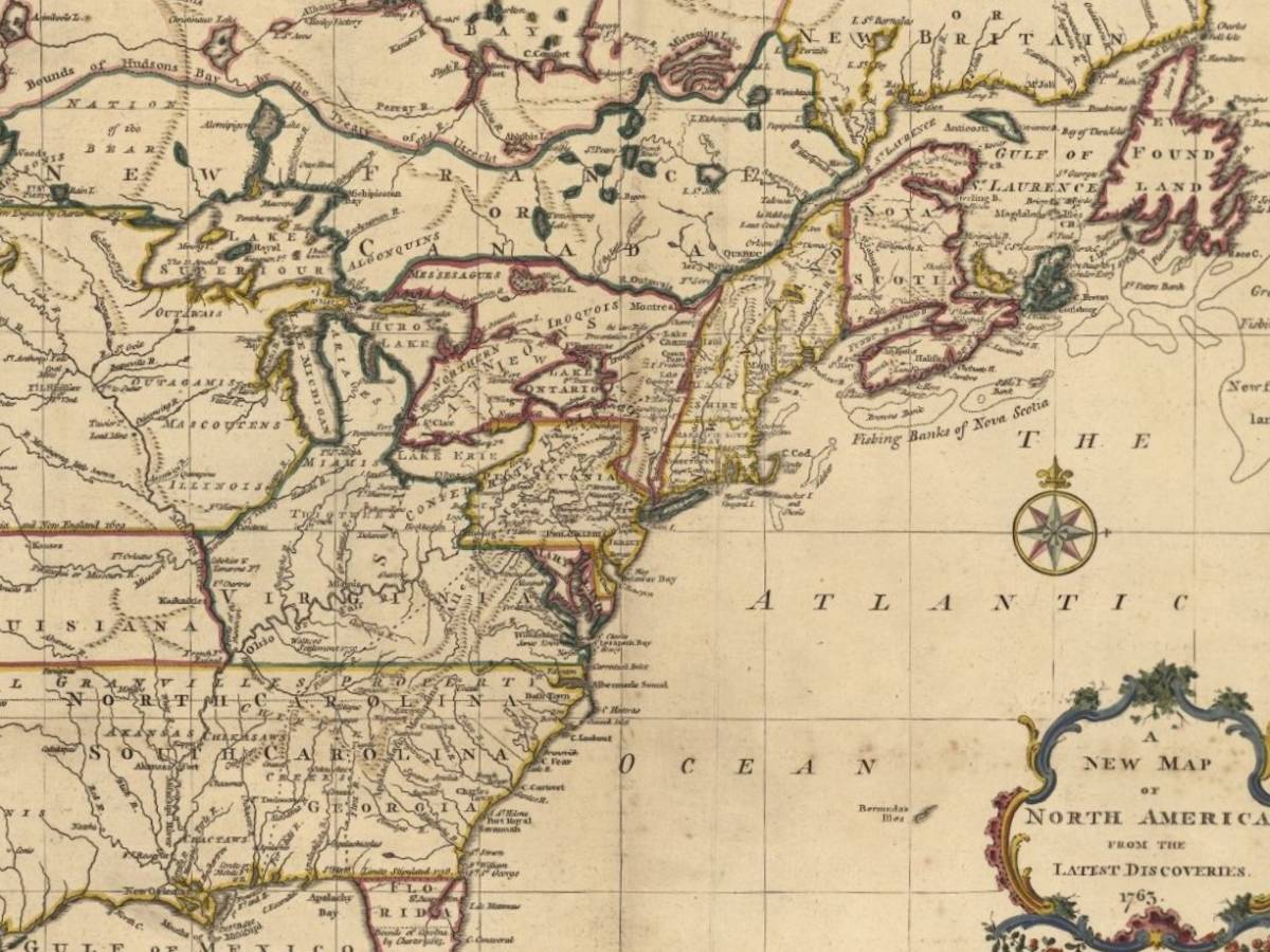
Special Collections has a substantial collection of cartographic materials. Our rare and historical maps include Kingston, Canada, North America and the world. A main subject specialization is historical cartography--maps illustrating the growth of cartographical knowledge and of geographical discovery with particular reference to North America. The collection also houses 17th and 18th century maps that illustrate the discovery and exploration of Canada. A large number of these have come into our possession through generous donations.
Alfred H. Ruddell Collection of Historical Maps of Canada and North America
The Ruddell Collection of Early Maps includes historical maps of the world and North America, including detailed maps of what is now Canada, dating from 1565 to 1881. Among the mapmakers represented are d'Anville, Blaeu, Bowen, Brion de la Tour, Chatelain, Delisle, Hondius, Magini, Mercator, Ortelius, Ramusio, and Visscher. The collection was a generous donation of Queen's alumnus Albert H. Ruddell (B.Sc.(Eng.) '52) in 2003.
Please consult the checklist for an inventory of the holdings. Albert Ruddell also gifted numerous atlases and books on cartography, which are listed in the library catalogue.
Most of the maps in the Ruddell Collection have been digitized and are viewable on the Queen's University Digital Collections site.
Dr. Stewart Fyfe Map Collection
The maps in the Dr. Stewart Fyfe Collection depict the development of Canada, from geographical encounters in the 17th century to the technological growth of the 19th century. Dr. Fyfe (1928-2019) was a dedicated member of the Queen's University community for over six decades. As Professor of Political Studies, he taught generations of students about local government, created professional development programs for municipal staff, and provided counseling for students.
The Fyfe Map Collection has been digitized and is viewable on the Queen's University Digital Collections site.
Charles N. Bell Collection
The Charles N. Bell Collection of Maps includes cartographic representations primarily of North America and Canada, including New France. The collection was acquired from the estate of Charles Napier Bell of Winnipeg in 1935. The maps in the collection date from the 16th century to the 19th century. Cartographers represented include Blaeu, Bowen, Coronelli, Delisle, Homann, Jaillot, Jansson, Le Rouge, Moll, Mortier, Sanson, Schagen, Senex, Tirion, and Vaugondy, among others.
Most of the maps in the Bell Collection have been digitized and are viewable on the Queen's University Digital Collections site.
Justin and Elisabeth Lang Collection
A collection of rare historical maps presented by Robert and John Lang from the collection of Justin and Elisabeth Lang, 1993. The collection primarily consists of 18th century representations of North America, however also includes some 16th, 17th, and 19th century examples, as well as maps representing South America, Europe, Africa, and Asia.
The Lang Collection of Maps has been fully digitized and is viewable on the Queen's University Digital Collections site .
View the Lang Collection of Maps
Fire Insurance Plans
A collection of Canadian fire insurance plans. More comprehensive holdings are in Stauffer Library with the Maps & Geospatial Data collection. You can search these plans through the library catalogue.
Some of the fire insurance plans from our collections representing Kingston and other Ontario communities have been digitized and are viewable on the Queen's University Digital Collections site.


